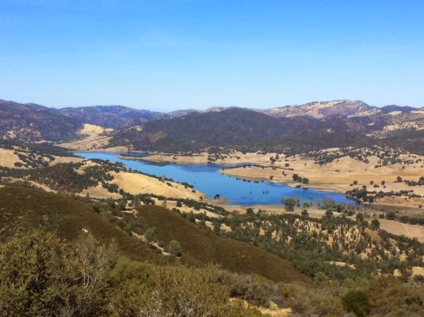
The trail traverses through San Jacinto Mountain Game Reserve, San Jacinto State Wilderness, San Jacinto State Park. The range is granite rock wedged between the San Jacinto Fault and the San Andreas Fault, sounds like perfect territory for finding some climbing along the way. Also rock slides could happen if a major earthquake occurs.
Along with the San Bernardino Mtns, the San Jacinto Mtns are humid islands in a sea of dry, desert. Most of the rain occurs from November to March, but thunderstorms can cause flash flooding mid July to mid September. Snow can persist above 8,000ft (about 2,440m) till June and above 9,000ft (about 2,750m) you will see some patches of snow all year.
Get ready for some aerobics, this mountain range goes from sea level to 10,000ft (about 3050m) in a few measly miles. It will be a wake up call to the legs. Hopefully by then our packs will be all light and figured out. Remember elevation gain and the temperature change will make us need more food and water.
Flora:
From the desert, the trail starts to climb through sage brush, chaparral (see last post for definition), and, as you climb higher, through pine trees. Above about 5,500ft (about 1680m) we will start to see ponderosa pines, lodgepole pines, jeffrey pines, incense cedars, white firs, and red firs. Between the slabs of granite rock and pines and cooler temps, it will feel like CO.
Special Interest:
Tahquitz Peak (8,750 feet/2667 meters)
 On the way through, I want to check out this classic climbing. Tanquitz and Suicide Rock are both above Idyllwild. It's all multi pitch and so I might not be able to do too much but I will go and free solo parts of the easier routes. Really I would just be psyched to be there. There is also a bouldering area in Idyllwild County Park and you can even camp next to some good bouldering (sites 55-78, save me a spot.)
San Bernardino Nation Forest. image from parks website

Welcome to gold rush territory. The San Bernardino Mtns have a long history in resource management. It was over logged, mined, and has been used as a water source to the surrounding cities for a long time. In the 1900s the range was made a national forest and it still used as a reservoir to supply water to the dry, urban areas surrounding them. The California Aqueduct runs through as well as a few highways.
The Mtns provide the most reliable powder south of the Sierra's so ski resorts are common. They have the same rainy/snowy seasons as the San Jacinto Mtns, but the San Bernardino's are more likely to have snow since they often get more precipitation and are generally higher.
Erosion is a huge problem here, probably because it is right on the San Andreas Fault and people have been poking around for a long time. Sediment and rock erode and deposit in massive alluvial fans. These act as water highways into the groundwater basins below. Be wary if it is storming, these alluvial areas flash flood. Side note, crossing a wide alluvial channel, balancing from rock to rock, can really get annoying on the knees.
From the San Jacinto Mtns. The trail dips down into San Gorgonio Pass (by Cabazon), skirts around the sides of some San Bernardino Mtns, then head down again into Whitewater Canyon, and then follows a canyon vein back up into the Mtns, heads through alpine basin territory, and then checks out Big Bear Lake and later Silverwood Recreation Area.
Fauna: On the endangered end of the animal spectrum there is the San Bernardino flying squirrel, California spotted owl, Mountain yellow-legged frog, Southern Rubber Boa, and Andrew's Marbled Butterfly. Please make notes and report if you see any of these.
Special Interest: There is a load of climbing to be done by Big Bear Lake, from bouldering to trad and sport. I'll probably head to North Shore Boulders and The Gardens for a nice V0-2 warm up and then trek over to Holcomb Valley Pinnacles and Central Pinnacles area to check out some routes that are along the PCT.